Our Services
Aerial Mapping
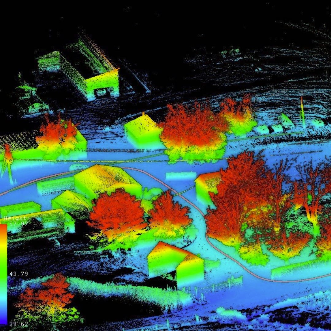
At the very core of our business is drone mapping. We provide highly accurate drone maps to builders, developers and surveyors. Our maps can include Ground Control Points depending on the accuracy level desired. Deliverables are provided in the requested format ready to use in your CAD software. We can provide Orthomosaic maps of the entire property, Digital Surface Models, Contours, and 3D Models. Accuracy is essential and MDS will provide the level you need and expect.
Inventory & Volume Measurements
Drones have become the number one tool for providing inventory of aggregate removed from or delivered to development site. We can provide accurate volume measurements of aggregate inventory removed or delivered to your development site.

Construction Progress
Drone imagery for constructions sites is used for many purposes. A few include Drone Mapping, Asset Inventory Management, and Progression Images. All of these can help save time and money by identifying problems early on. Job site imagery can be shared with investors, architects, and anyone else involved with the project but located many miles away.
The Results
“We were absolutely thrilled with the data that Tim delivered.”
— Somebody
Example Projects